Researchers present computational strategy for selecting environmental measurement sites in award-winning paper

In an award-winning paper, the Oak Ridge National Laboratory Climate Change Science Institute’s (CCSI’s) Forrest Hoffman, Jitendra Kumar, and Richard Mills, along with William Hargrove of the US Department of Agriculture (USDA) Forest Service, present a quantitative methodology that establishes an optimal sampling strategy for collecting environmental data by classifying spatial areas based on their environmental characteristics. This method provides a framework for using sparse field measurements to best represent entire ecoregions and an approach for integrating models and data.
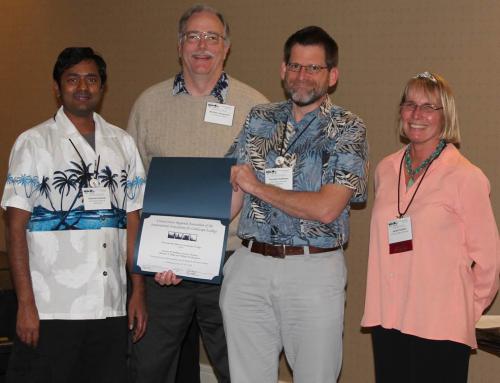
The paper “Representativeness-based sampling network design for the State of Alaska” was named the Outstanding Paper in Landscape Ecology by the US Regional Association of the International Association of Landscape Ecology (US-IALE). The authors received the award at the US-IALE annual symposium held in Anchorage, Alaska in May.
“This work is important because it offers a means for understanding the representativeness of observations across complex landscapes and generating model parameters from sparse measurements,” Hoffman said.
Applying their computational strategy for Alaska, the authors found that by 2099, under the climate change scenario used, warmer and wetter conditions such as those presently occupying the ecoregions of the Seward Peninsula (in western Alaska bordering the Bering Sea) are expected to shift northward to the tundra of the North Slope (the northernmost part of Alaska that borders the Arctic Ocean), likely resulting in less permafrost, increased carbon release, and changes in plant communities.
The computational strategy the authors used for Alaska can be applied at other spatial extents and resolutions for regions elsewhere in the United States or worldwide, Hoffman said.
This research was supported by the Department of Energy Office of Biological and Environmental Research and the USDA Forest Service Eastern Forest Environmental Threat Assessment Center.
